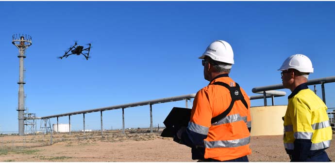
Aerial modelling and inspections using commercial-grade drones offer compelling advantages for the resource sector by increasing safety, saving time and reducing survey costs.
Airscope, a Perth, Australia-based inspections and asset visualisation company, has used the Intel Falcon 8+ drone to extend these benefits further by developing computer-generated 3D models of entire hydrocarbon processing facilities off the North West shelf of Australia and in the Cooper Basin, effectively bringing the field into the boardroom for more effective asset management.
Industrial digitisation, or Industry 4.0, is predicted to generate $421-billion in cost reductions and additional revenue each year for the next five years worldwide, according to a report by PwC. 3D modelling of resource assets by companies like Airscope is one way of contributing to and driving this digital revolution that is transforming industry.
Airscope’s director Chris Leslie and its chief controller Francois Alberts – both trained commercial airline pilots – saw the potential opportunities drone technology could offer to the resource sector. They reshaped their careers to work with software, survey and geospatial specialists to develop new ways for large resources companies to manage their physical assets.
“When people think of drones operating in industrial applications, they think of inspections collecting data from hard-to-reach places,” Leslie says. “Our business has evolved beyond this where the real efficiencies and return on investment for the client come from providing a digital 3D representation of their physical assets.
“We made the transition to asset visualization because UAV inspection only gave clients a fraction of the story; without context, the full potential of images captured cannot be realized. So now we create a virtual canvas of the entire site using airborne photogrammetry, ground photogrammetry and laser scanning. Once the virtual canvas is created, you can paint any operational or planning data on it, to serve as a human medium to access and interact with big data.
“You could compare this technology to how our lives have changed with innovations such as the smartphone – the time savings and benefits are hard to quantify,” Leslie adds. “The benefits are multiplied when looking at clients managing large-scale resource sites due to the number of employees and the potential cost to the business if decisions are made based on inaccurate or incomplete information.
“Early indications by clients currently implementing asset digitization into their operations suggest day-to-day cost reductions of between 3.6 and 10 percent dependent on industry, and capital works projects being reduced by more than 20%. We are entering a period where decisions are being determined by the data at hand and companies that haven’t started their transformation towards digitisation will be left behind.”
Recently, Airscope worked alongside drone manufacturer Intel and local Australian distributor Position Partners to deliver 3D models of Santos-operated facilities in Australia’s Cooper Basin.
Santos enlisted Airscope to provide not only large-scale virtual models, but also inspection services of critical assets, which are challenging to monitor using traditional methods.