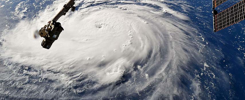
NASA’s Aqua satellite provides an infrared look at the large and powerful Hurricane Florence taken yesterday (13 September).
The National Hurricane Centre (NHC) notes that hurricane-force winds extended outward up to 130km from the centre and tropical-storm-force winds extend outward up to 315km.
Early on 13 September, NASA’s Aqua satellite’s infrared data showed the clouds in the southern quadrant of Hurricane Florence appeared warmer than storms throughout the rest of Florence.
The hurricane is moving slower toward the northwest at about 20 kph. This general motion, accompanied by a further decrease in forward speed, is expected to continue through today.
On the forecast track, the centre of Florence will move near or over the coast of southern North Carolina and eastern South Carolina in the hurricane warning area today. A slow motion over eastern South Carolina is forecast Friday night through Saturday night.

