The African Union (AU) has endorsed a campaign to use a map that represents Africa more accurately than the traditional Mercator map that is mostly used today.
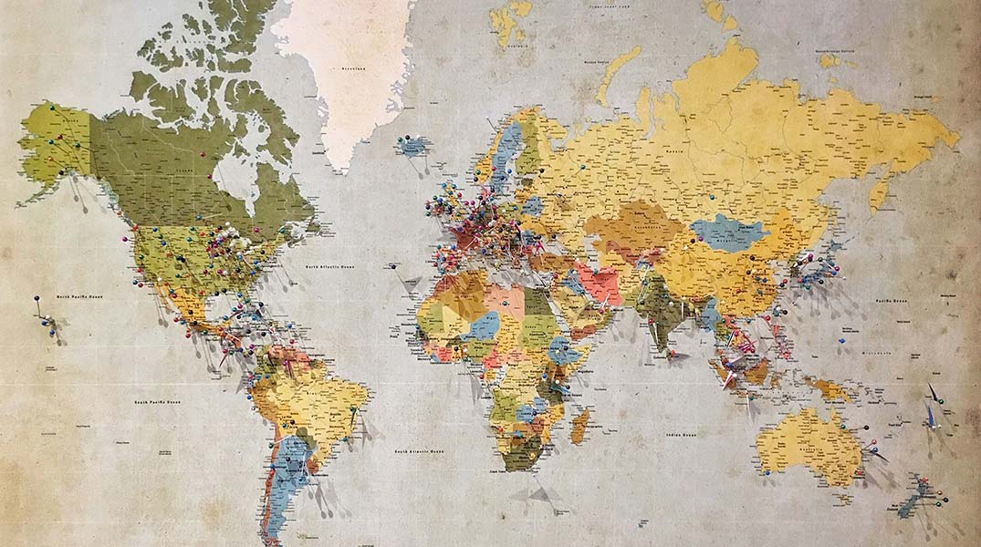
The currently-used map was drawn up in the 16th century by catographer Gerardus Mercator, and inaccurately displays Africa as a lot smaller than it is.
Mercator created the map as an aid to navigation, but it distorts continent sizes, with areas near the poles appearing a lot bigger than they are in reality, while Africa and South America are displayed as smaller than they are.
The “Correct the Map” campaign seeks to encourage use of a more accurate map, the Equal Earth projection.
The distortion of Africa on the Mercator map has negative connotations for the continent of 52 countries and almost 1-billion people.
Now, the AU has endorsed the campaign, and will advocate for the adoption of an alternative map.
Requests to change the map have been sent to the UN-GIMM, the UN’s geospatial body, where they will be reviewed.