Research led by scientists at the Wildlife Conservation Society (WCS) and funded by NASA has been released.
The study demonstrates a new method for combining field data, satellite imagery, and expert opinion to visualise the past, present, and future of habitat availability for four important species: tiger, American bison, jaguar, and African lion.
The datasets expand on earlier work to map tiger habitat previously published in the journal Frontiers in Conservation Science.
“Understanding the status of species is a major challenge for conservation,” says Dr Rachel Neugarten, project co-principal investigator and executive director of conservation planning at WCS. “We need to know whether wildlife habitat is improving, declining, or stable, and where there are opportunities for restoration. Shockingly, for most species globally, we still don’t have that basic information.”
Species range maps are essential tools for governments, NGOs, and funders deciding where to invest in conservation and restoration. However, traditional range maps are labour-intensive to produce, difficult to update, and often static—making them poorly suited to keep pace with accelerating habitat loss. They may also reflect historical ranges without identifying where suitable habitat still exists today for recovery or reintroduction efforts.
The Act Green approach addresses these gaps by producing dynamic, updateable maps that identify landscapes with current and future potential for species restoration and rewilding.
“This new tool leverages remote sensing, field survey data, and expert input to map habitat at a global scale,” adds Neugarten. “These free, open-source maps are already being used by WCS, WWF, Panthera, range-state governments, and researchers to guide conservation investment, rewilding, and field surveys.”
The research team also incorporated projections of the Human Footprint Index – a measure of human influence developed by WCS scientists and derived from satellite imagery – to explore future trends in habitat availability. By forecasting changes in human pressure, the maps help identify both areas where conservation action is urgently needed to prevent habitat loss and where restoration efforts can succeed.
“The real strength of this work is that the maps are both data- and expert-driven – and fully updatable,” says jaguar researcher Dr Jay Schoen, a geospatial data scientist with the Western Fire and Forest Resilience Collaborative at the Cary Institute and technical lead on the project. “By combining modern geospatial tools with the work of partners on the ground, we can track progress for these flagship species and others that share their ranges.”
Dr Gautam Surya, project co-principal investigator and conservation planning scientist at WCS, comments: “As the world advances toward the 2030 goals of the Kunming-Montreal Global Biodiversity Framework established through the Convention on Biological Diversity, conservation planners need dynamic, reliable scientific information to identify priority areas for investment.
“These maps deliver exactly that – and provide a powerful, efficient framework that can be extended to many other species.”
Laura Rogers, associate program manager for the Ecological Conservation Program at NASA, adds: “This groundbreaking work shows how NASA’s satellite observations, combined with field expertise, can create dynamic tools that don’t just map where threatened species exist today, but predict where habitat will be viable tomorrow.
“That strategic intelligence is essential for maximizing the impact of conservation resources.”
Valeria Boron, WWF Jaguar initiative Science Lead, notes: “Act Green provides conservation practitioners with a user-friendly, science-based platform to assess changes in species habitat over time and orient conservation efforts toward areas facing higher levels of threat. For jaguar conservation, this tool is critically important to better delineate priority landscapes and assess the collective impact of regional conservation efforts.”
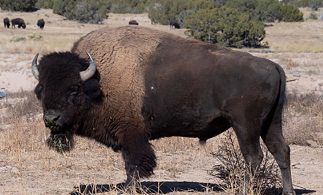
Featured picture: American bison. Photo credit: ©️WCS